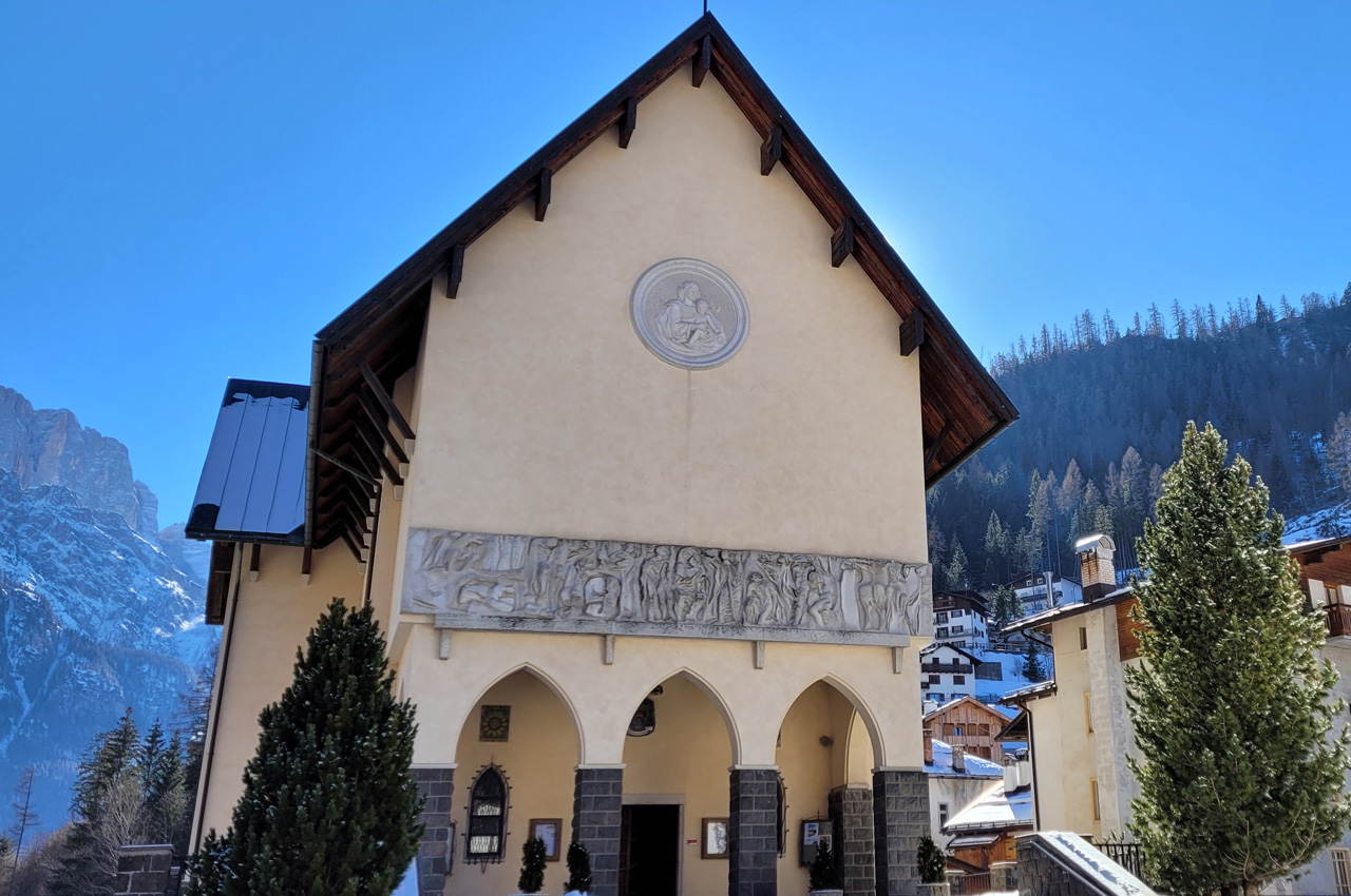
We set the starting point from the car park beside the Sanctuary of Santa Maria delle Grazie. It is also possible to plan to cover this itinerary on foot from the centres of Alleghe Caprile or Masarè, taking advantage of the convenient cycle/pedestrian path located exactly 2 km from these centres. (3.5 from Masarè)
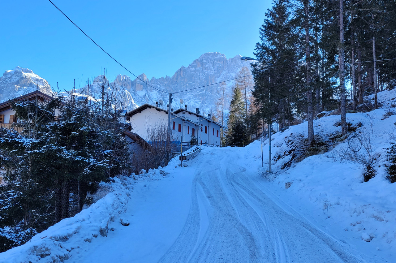
Go past the sanctuary and turn left onto the small communal road which climbs up towards 'Col de la Roa'. There are signs on the side of the road indicating the villages above, including Bramezza.
The slope immediately makes itself felt and the icy road often requires crampons to be worn from the start. We continue uphill for about 1 km when we find a first road sign indicating "Bramezza 1". Following this, we take the old path up to the village.
We advise ignoring it and continuing for another 400m or so when near a small car park we see a second signpost "Bramezza 1" indicating the new and much more scenic silvopastoral road up to the village.
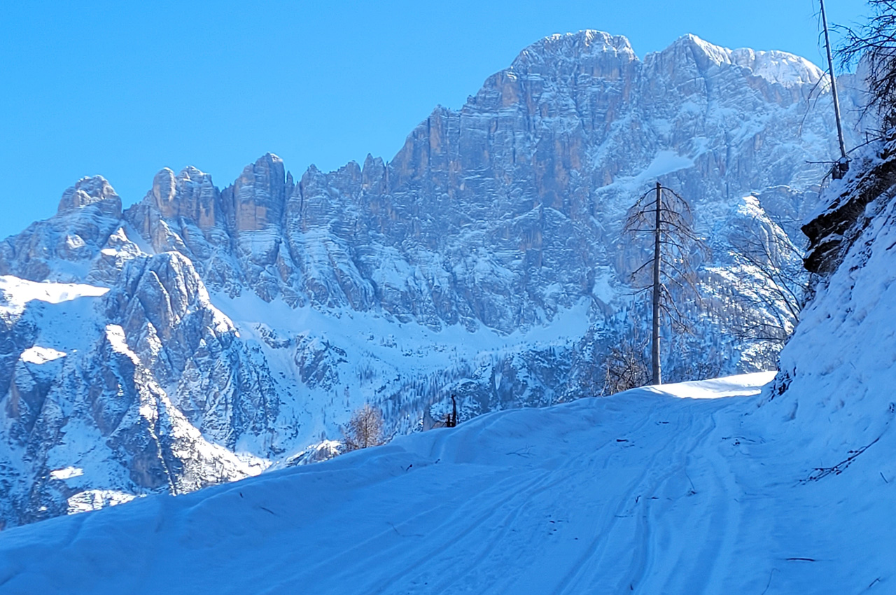
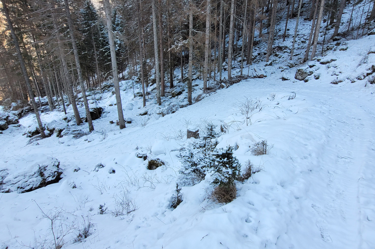
The little road is snow-covered and used by snowmobiles, so it often has a compact and icy surface.
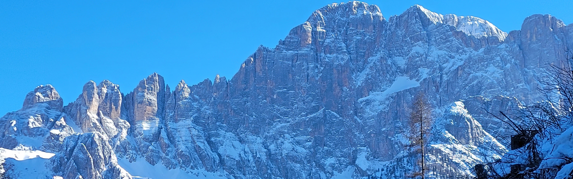
At every bend, the panorama that opens up over the Civetta offers beautiful views. We soon reach an isolated house in the locality of 'Sedolada'. Continuing on, the road faces two hairpin bends that offer views of "Col di Lana" "Setsass" "Averau" and "Gusela del Giau".
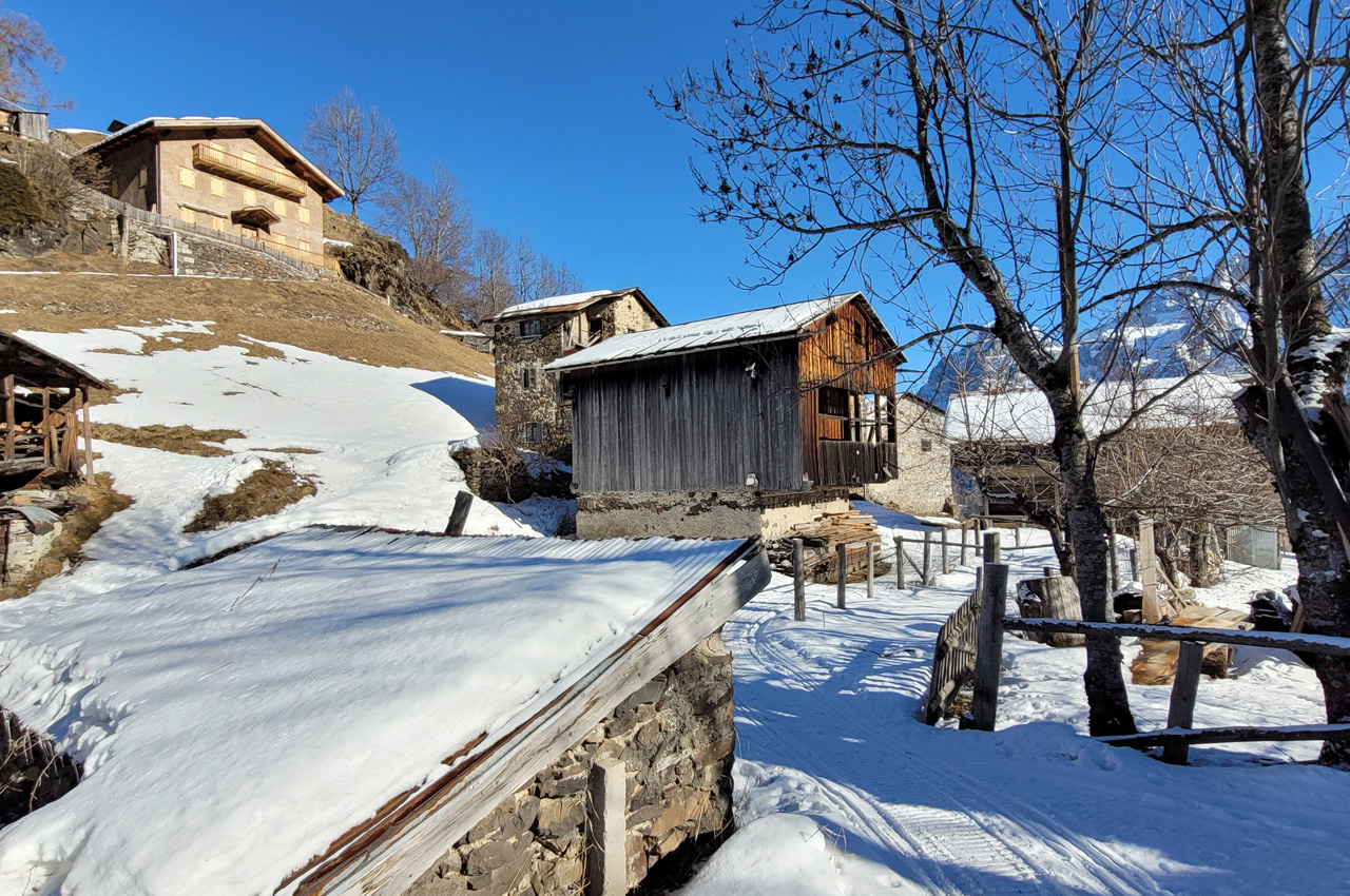
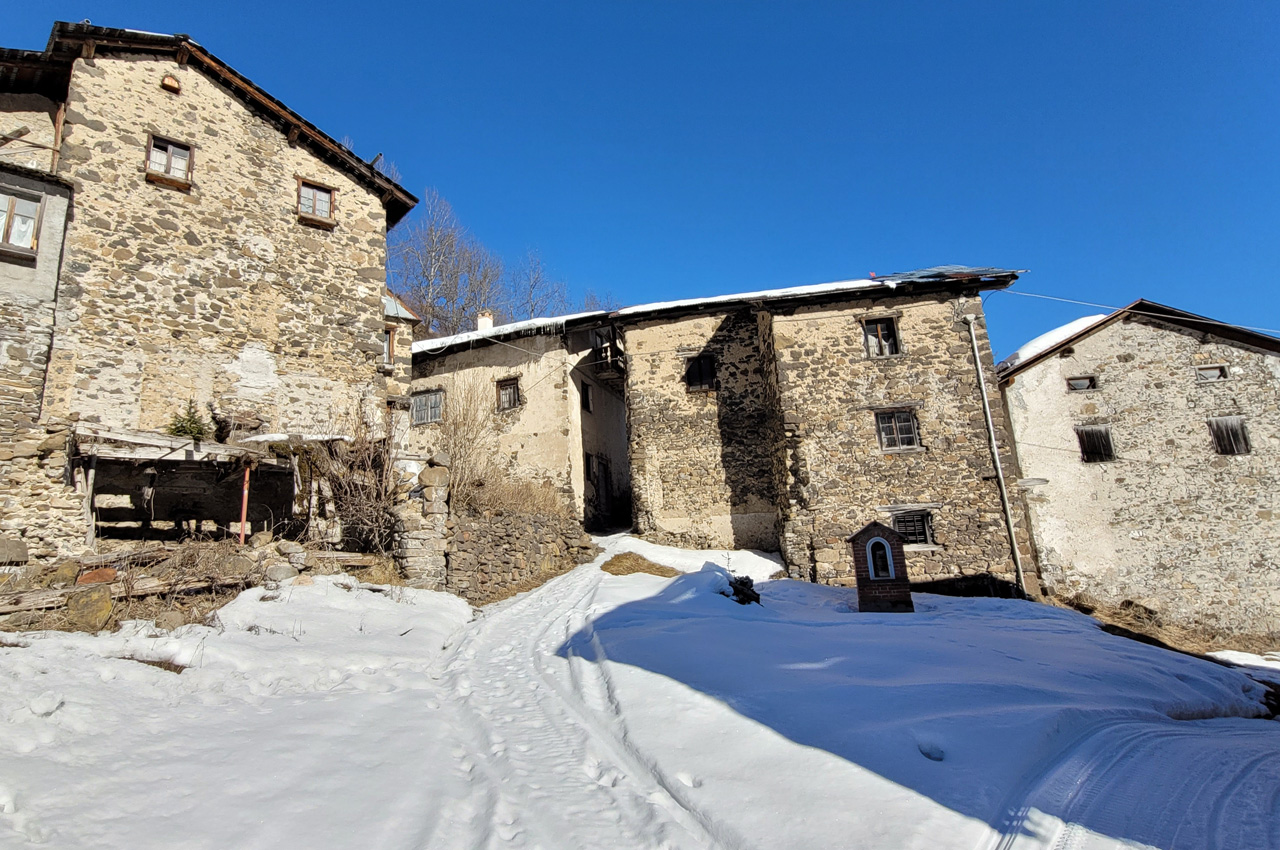
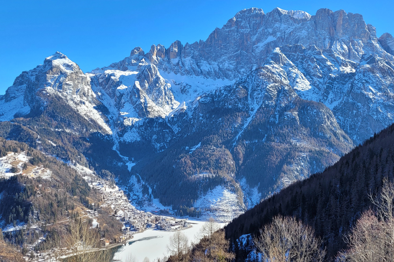
A little more effort and you reach Bramezza. This is a precious little old village which, on its southern edge, offers a panoramic view of Alleghe and its lake. The return is by the same route as the ascent. It is possible, however, just below 'Sedolada' to take the path seen on the ascent, which requires surefootedness and crampons to descend to the valley. There is a sign indicating "Santa Maria delle Grazie".
There are no refreshment facilities.
SCHEDA
Route Type: Going and returning by the same route
Start Point: Santa Maria delle Grazie Church
End Point: Bramezza village: panoramic point
Estimated Time: 2 ore andata e ritorrno
Elevation Gain: 467
Elevation Loss: 467
Highest Elevation: 1450
Lowest Elevation: 980
Type of Terrain: local road and gravel road
Notes: There is a fountain in Bramezza