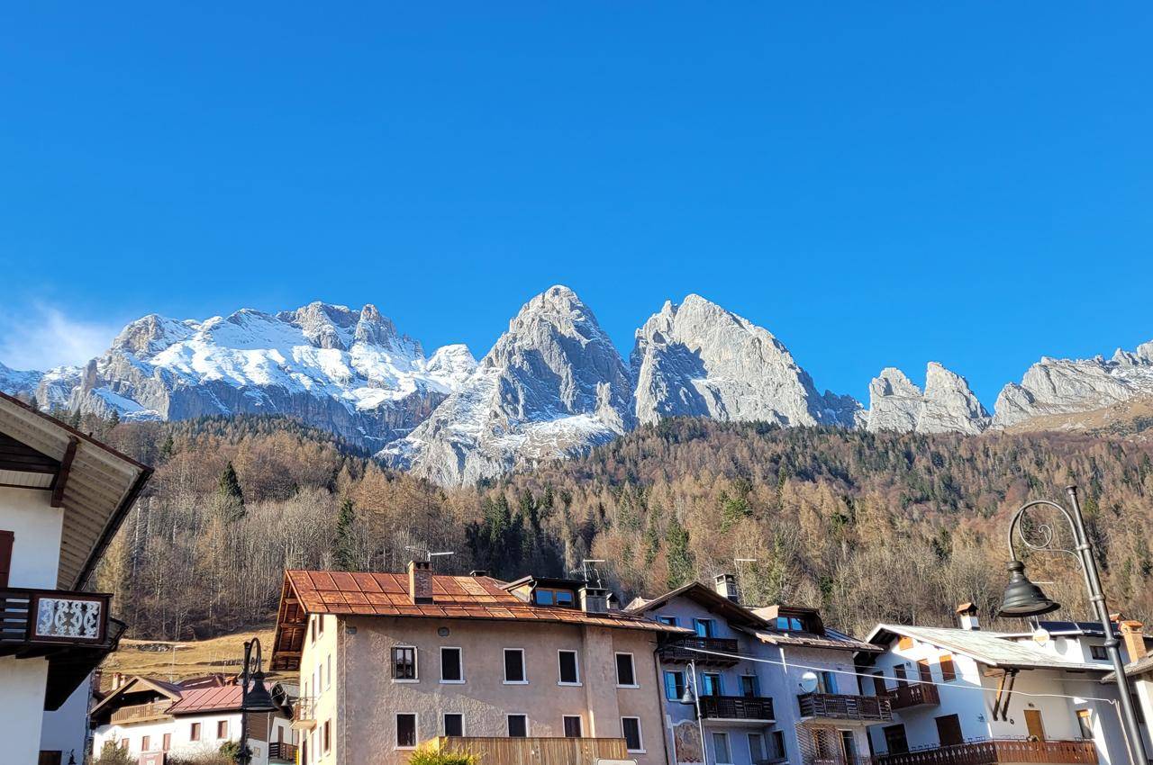
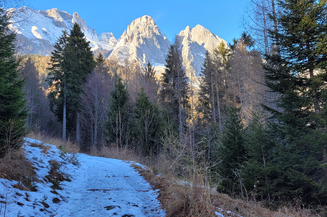
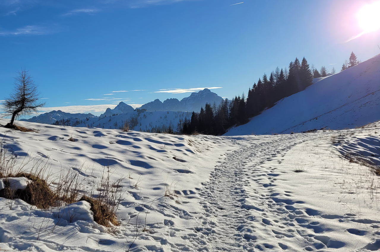
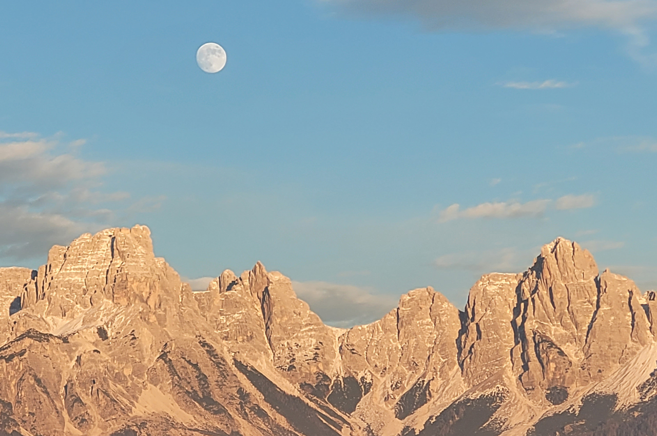
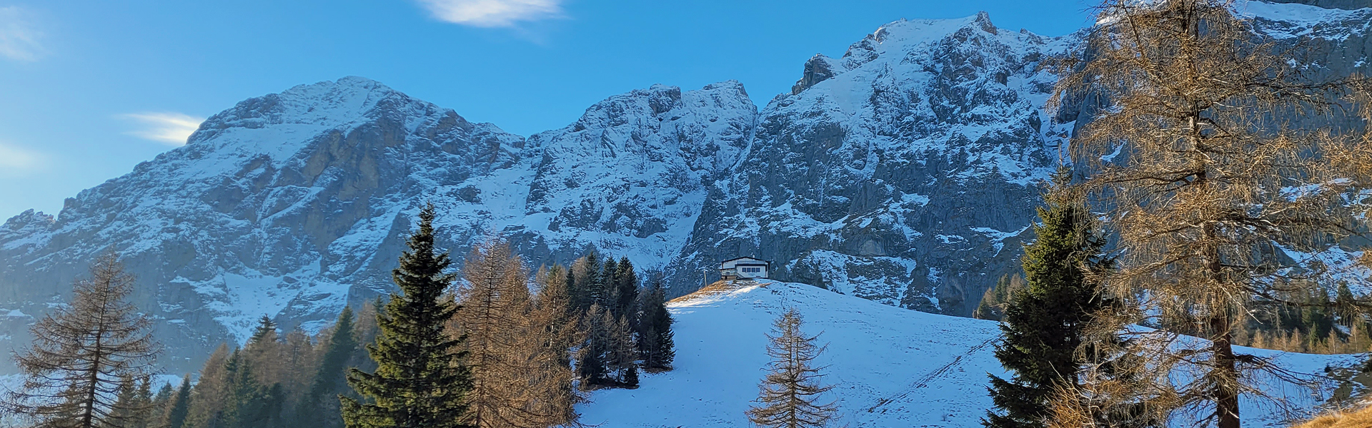
Stunning, panoramic and spectacular ascent below the peaks of the Agner and Croda Granda.
Variable terrain conditions depending on altitude and snow conditions.
Climb with winter equipment (crampons or snowshoes and poles) depending on conditions.
The climb to Rifugio Scarpa starts from the village of Frassenè Agordino in the municipality of Voltago, 7 km from Agordo and 25 from Alleghe. It is worth starting out from the village, where there are convenient car parks, and walking along the narrow streets between the very characteristic and well-preserved hamlet of Vich.
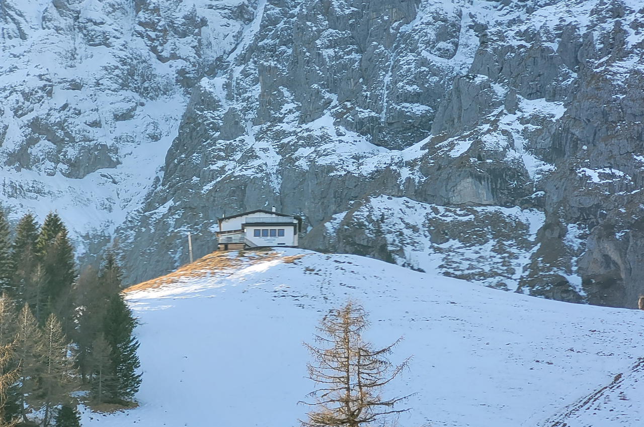
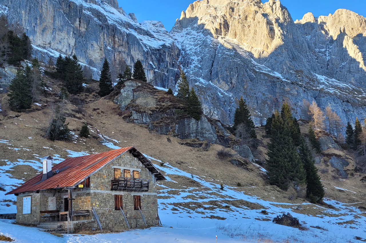
The road that goes up to Scarpa is a silvopastoral road of about 5 km, which starts at an altitude of 1100 m and arrives at an altitude of 1735 m, where the Rifugio is located.
At the end of the asphalted section, shortcuts begin, which, in poor snow conditions, make it possible to quickly gain altitude. For those who wish to continue along the dirt road, it is sufficient to follow the route with a slightly longer stretch.
In the second part of the climb at the end of the shortcuts, it is advisable to continue along the road instead of following the old ski slope that climbs vertically to the hut.
The return is by the same route as the outward journey. Possibility of extending the tour: see the Refuge website.
As always, it is recommended, before embarking on a winter tour, to consult the snow and avalanche bulletin of the Arabba weather centre: Weather forecast for Alleghe and surrounding areas (alleghe-dolomiti.it)
The Refuge will be closed for the winter season 23/24
1 h 30 one way 2 h 30 round trip
For news on spring openings: www.rifugioscarpa.com
SCHEDA
Route Type: Going and returning by the same route
Start Point: Frassenè Agordino
End Point: Scarpa refuge
Estimated Time: 4h:30 (andata e ritorno)
Elevation Gain: 639
Elevation Loss: 639
Highest Elevation: 1735
Lowest Elevation: 1100
Type of Terrain: Forestry road, forest path
Notes: Carrying crampons in your rucksack